

Premier Drone Surveying Services - Aerial Mapping & Drone Surveying in California
Precision Aerial Mapping & Drone Surveying Services in Modesto California
Unlock new possibilities in precision and efficiency with our Aerial Mapping and Drone Surveying services at
Affordable Drone Photography. Specializing in high-resolution aerial data collection, our state-of-the-art drones capture detailed geographic information for a wide range of applications. Whether you're in construction, real estate, agriculture, or environmental conservation, our services provide invaluable insights that help streamline project planning and execution.
We cover everything from topographic surveys to vegetation analysis, offering tailored solutions that meet the specific needs of your project. At Affordable Drone Photography, we combine advanced drone technology with sophisticated mapping software to deliver accurate and reliable results, enabling you to make informed decisions quickly and effectively. Our commitment is to provide exceptional service that enhances your operational capabilities, helping you to manage your projects with precision and confidence.
Comprehensive Aerial Mapping
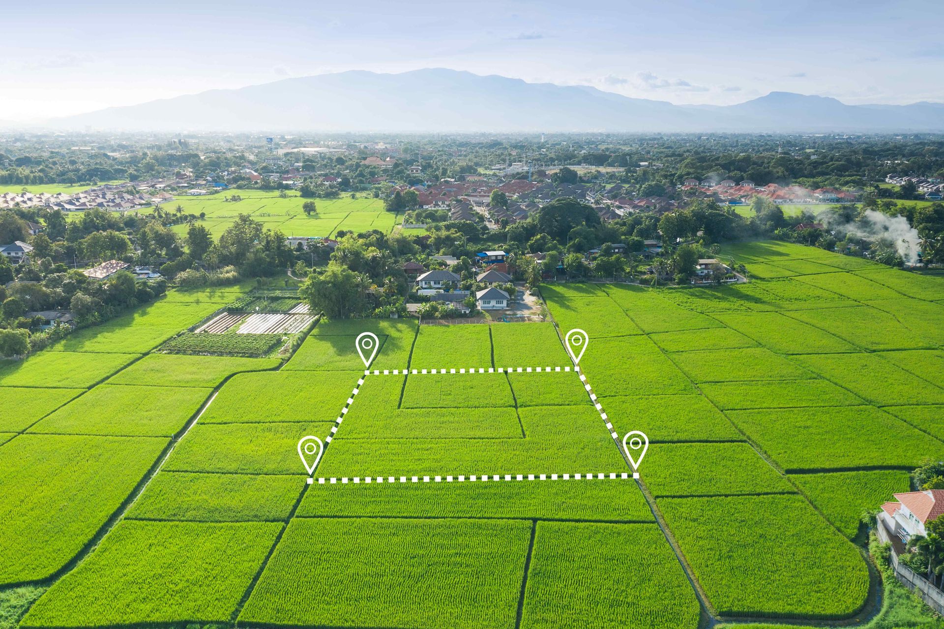
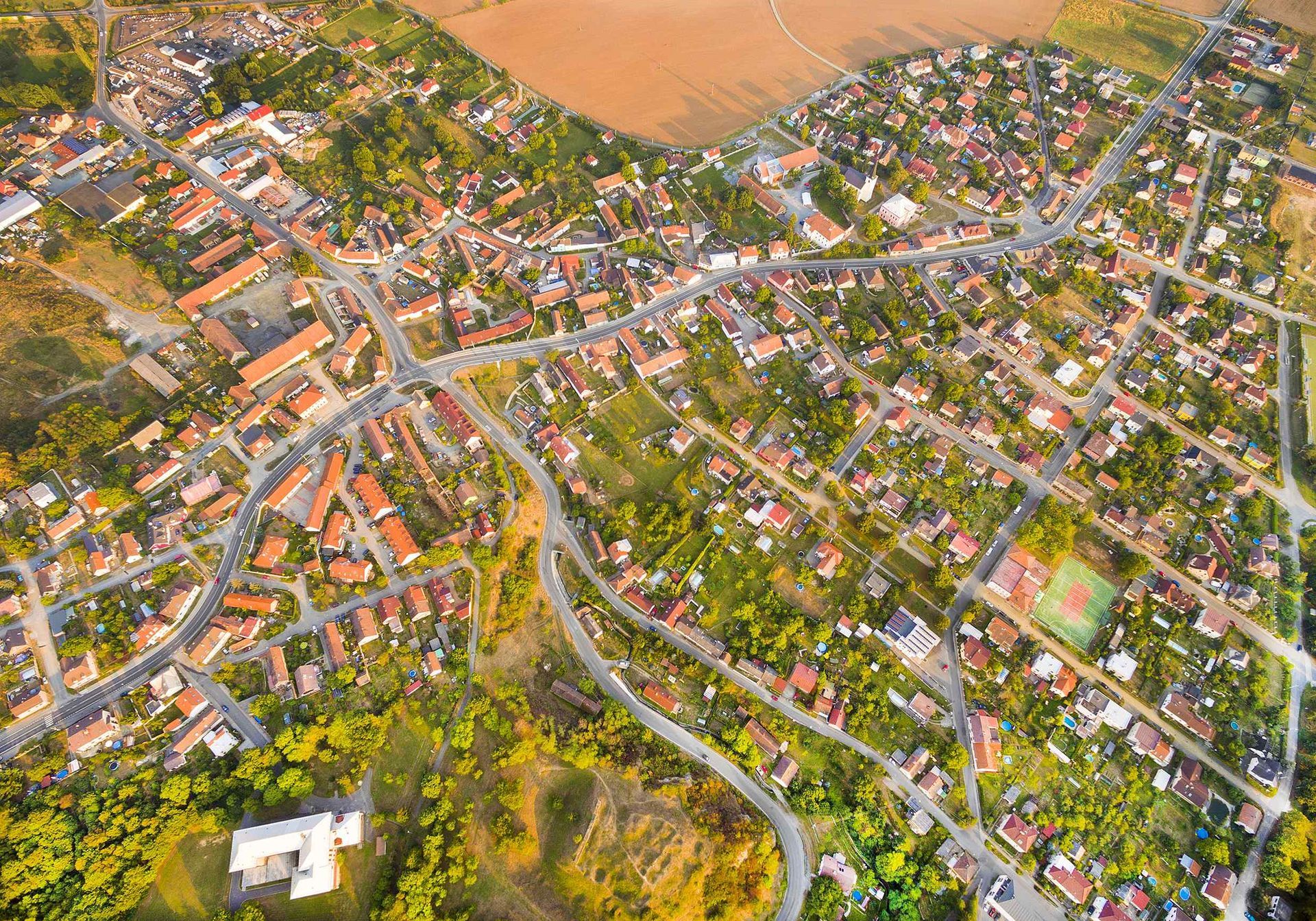
Our aerial mapping service utilizes cutting-edge drone technology to provide comprehensive mapping solutions. Perfect for urban planning, land development, and environmental monitoring, our drones capture
high-quality images that are processed to create detailed orthomosaics, digital elevation models, and other GIS data products. By integrating GPS technology, we ensure each dataset is precise and usable, providing you with a clear overview of the terrain and its features. This service is ideal for professionals needing detailed land assessments, including surveyors, architects, and city planners, who rely on accurate geographic data to design and implement projects.
Get Instant Quote
ADP Modesto Lead Form
When California Residents Need Expert Aerial Mapping Services, They Turn to the Professionals at Affordable Drone Photography Modesto
Experts in Advanced Drone Technology With Professional Execution
Utilizing the forefront of drone and sensor technologies, we ensure each mapping session is safe, efficient, and yields productive outcomes. Our drones are equipped with the latest in high-resolution imaging and geospatial accuracy, enabling us to capture detailed and actionable data. Our pilots are highly trained professionals, combining their skills in drone operation with their expertise in geographic surveying.
Professional Experience and Expertise in Aerial Surveying
With extensive experience in aerial mapping and drone surveying, our team has mastered the art of high-quality aerial data collection. We specialize in navigating complex environments, from bustling urban centers to expansive natural landscapes, ensuring comprehensive coverage and detailed analysis tailored to your project's needs.
A Commitment to Precision and Quality
Quality and precision are at the core of our aerial mapping and surveying services. From detailed pre-flight planning to the meticulous execution of each flight, we focus on delivering the highest quality data. Our post-processing techniques refine and enhance the collected data, ensuring you receive informative and visually compelling results.
We Go Beyond Just Data Collection
At Affordable Drone Photography Modesto, we view drone surveying as an opportunity to tell the geographic story of a location. Each dataset we provide aims to offer insights and visualizations that help stakeholders make informed decisions. We strive to deliver data that not only meets but exceeds your expectations.
A Commitment to Safety and Regulatory Compliance
Ensuring the utmost safety and adherence to all regulatory standards is paramount in our operations. We operate with strict compliance to FAA regulations and local guidelines, ensuring that every flight is conducted responsibly. Our team is fully licensed and insured, giving you peace of mind that your project is handled by professionals.
Reach Out To Affordable Drone Photography Modesto Today!
Are you ready to harness the power of aerial mapping and surveying for your project? Whether you're looking to optimize a construction plan, manage real estate assets, or conduct environmental research, we are here to assist. Contact Affordable Drone Photography Modesto today, and let us elevate your project with precise aerial data.